
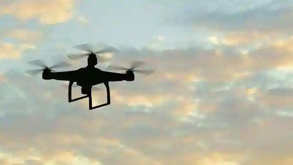
Skye Air, an Indian drone technology company, has launched India’s first Traffic Management System (TMS) for drones. The new system is designed to enhance the safety and efficiency of drone operations in the country.
With the growing use of drones for various purposes, the need for a robust traffic management system has become more pressing. The Skye Air TMS aims to address this need by providing real-time information on drone operations in the country. The system will provide real-time information on the location, altitude, speed, and direction of all drones in the airspace, allowing operators to avoid collisions and fly safely.
The TMS also includes a range of other features, including a no-fly zone database, which lists areas where drone flights are restricted or prohibited, and a flight plan management system, which allows drone operators to plan and manage their flights in a safe and efficient manner.
The launch of the Skye Air TMS is expected to have a significant impact on the drone industry in India. By providing a safe and efficient framework for drone operations, it is hoped that the industry will grow and flourish. The TMS is also expected to play a key role in the development of new drone applications and services, as well as encouraging investment in the sector.
In addition to its impact on the drone industry, the Skye Air TMS is also expected to have a wider impact on the country as a whole. By enabling safe and efficient drone operations, it is hoped that drones will be able to play an increasingly important role in a range of industries, including agriculture, logistics, and emergency services.
According to Ankit Kumar, CEO of Skye Air, situational awareness is now required for drone pilots, regulators, and controllers who demand real-time information on the drones in the sky.
To far, Skye UTM has facilitated over 300 successful BVLOS (Beyond Visual Line of Sight) drone flights.
The Skye UTM records over 255 characteristics of UAV movements and keeps them in its ‘Blackbox,’ a published systematic account of the whole flight. The platform provides the first 3D picture of the drone airspace, as well as operations and regulations mapping servers that provide the most recent airspace status, confirmed pathways, and real-time UAV movements.